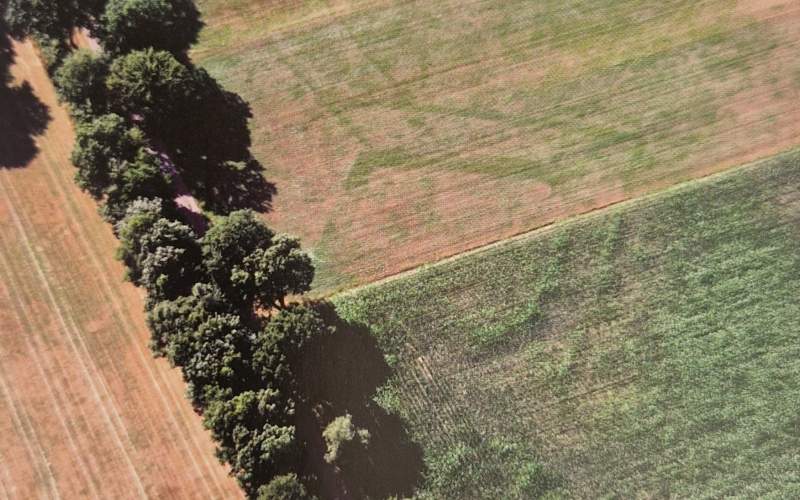
The rich history of Groenlo and Oost Gelre can be seen in the historical fortress lines of the Grolse Linie
The rich history of Groenlo and Oost Gelre can be seen in the historical fortress lines of the Grolse Linie. Shortly after the conquest of Grolle in 1627 the "circumvallatielinie" was partially removed. Thanks to aerial imagery and reserach the position of this important line was discovered.
The visual quality plan from LANDLAB offers a series of solutions to bring the existing historical area to life and is intended as a source of inspiration for landowners, entrepreneurs, planners and visitors in the area. Because the "circumvallatielinie" isn't a particularly catchy name, it will be further called: De Grolse Linie 1627.
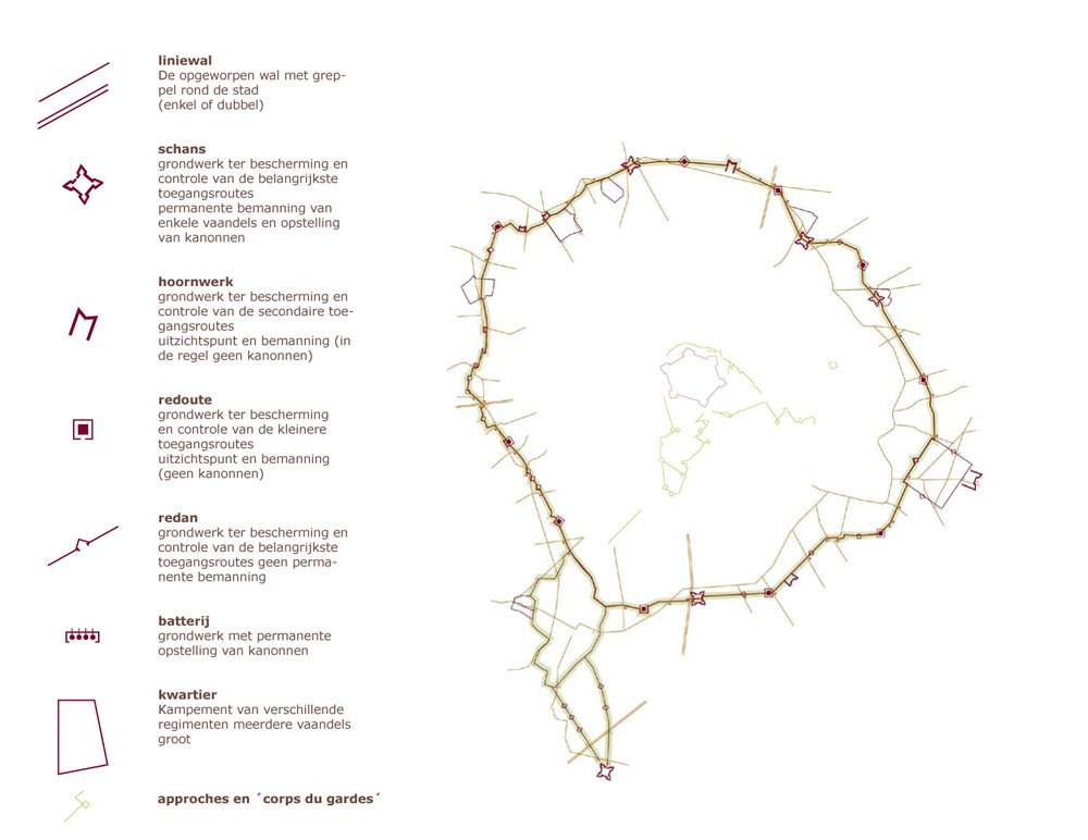
LANDLAB developed a new visual language to allow elements from the line to be recognizable within the landscape. This concerns the individual defenses and the line as a coherent system. In order to understand the appearance historically, an analysis was made of images used for fortifications and equipment.
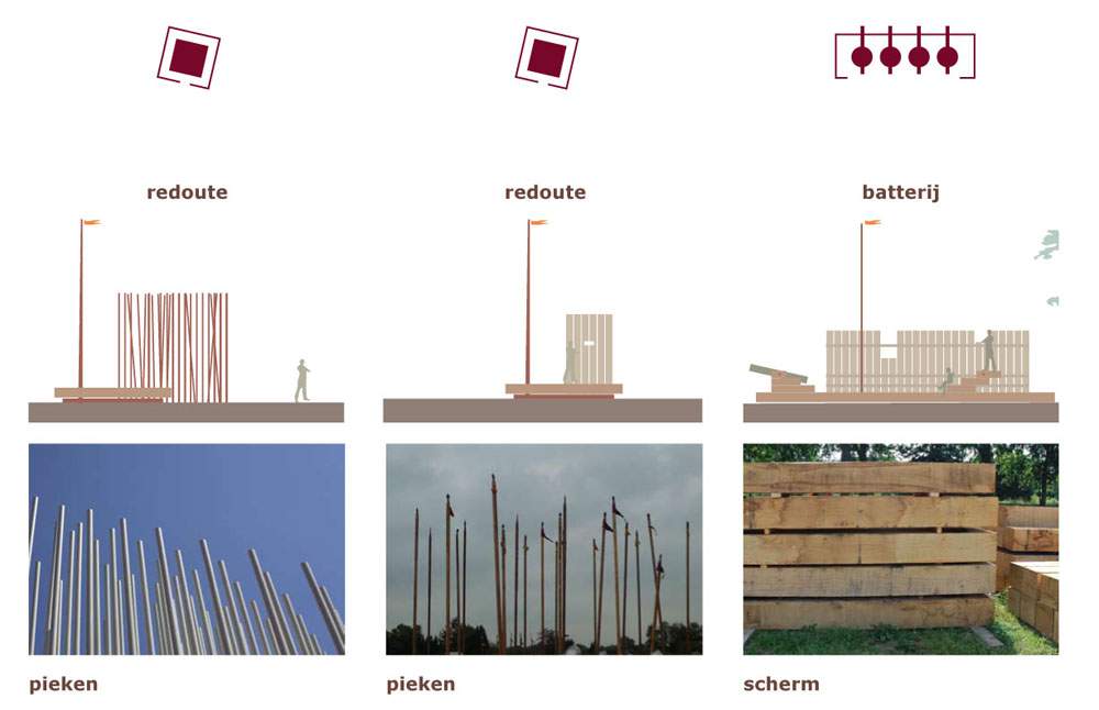
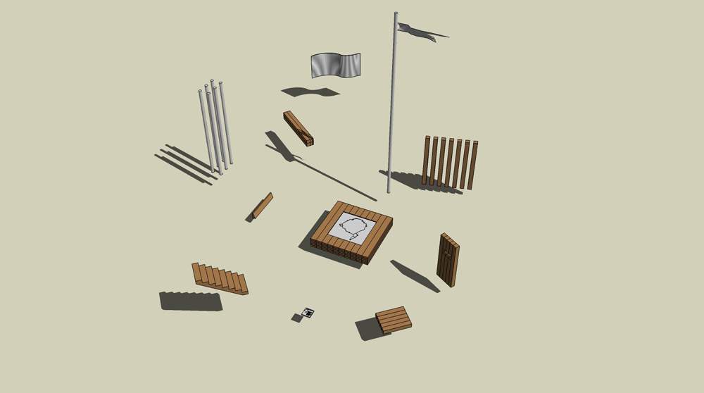
Based on this research, a strategy was developed to map the entire line and then highlight components that are central to it's development. A toolbox with building blocks for future development and design ideas is proposed. It includes potential materials, design forms, and ideas for sightlines.